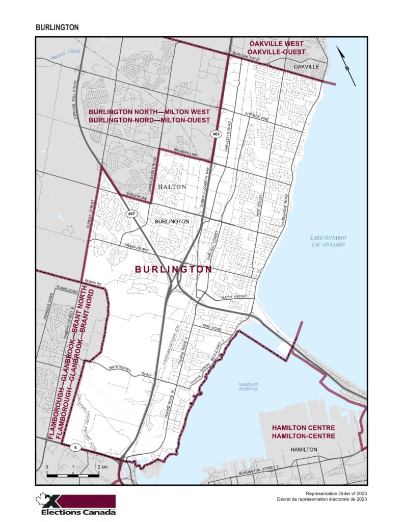
Burlington Riding boundaries:

Consisting of that part of the Regional Municipality of Halton comprised of that part of the City of Burlington lying southeasterly of a line described as follows: commencing at the intersection of the northeasterly limit of said city with Queen Elizabeth Way; thence southwesterly along Queen Elizabeth Way to Walkers Line; thence northwesterly along said line to Upper Middle Road; thence southwesterly along said road to Guelph Line; thence northwesterly along said line to Highway No. 407; thence northerly along said highway to Dundas Street; thence southwesterly along said street to the southwesterly limit of said city.
Please note: the City of Burlington boundaries are not the same as the Electoral District of Burlington boundaries.
Federal ridings and Provincial ridings share the same boundaries.
Learn more about Electoral District Ridings HERE


